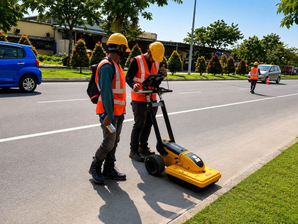
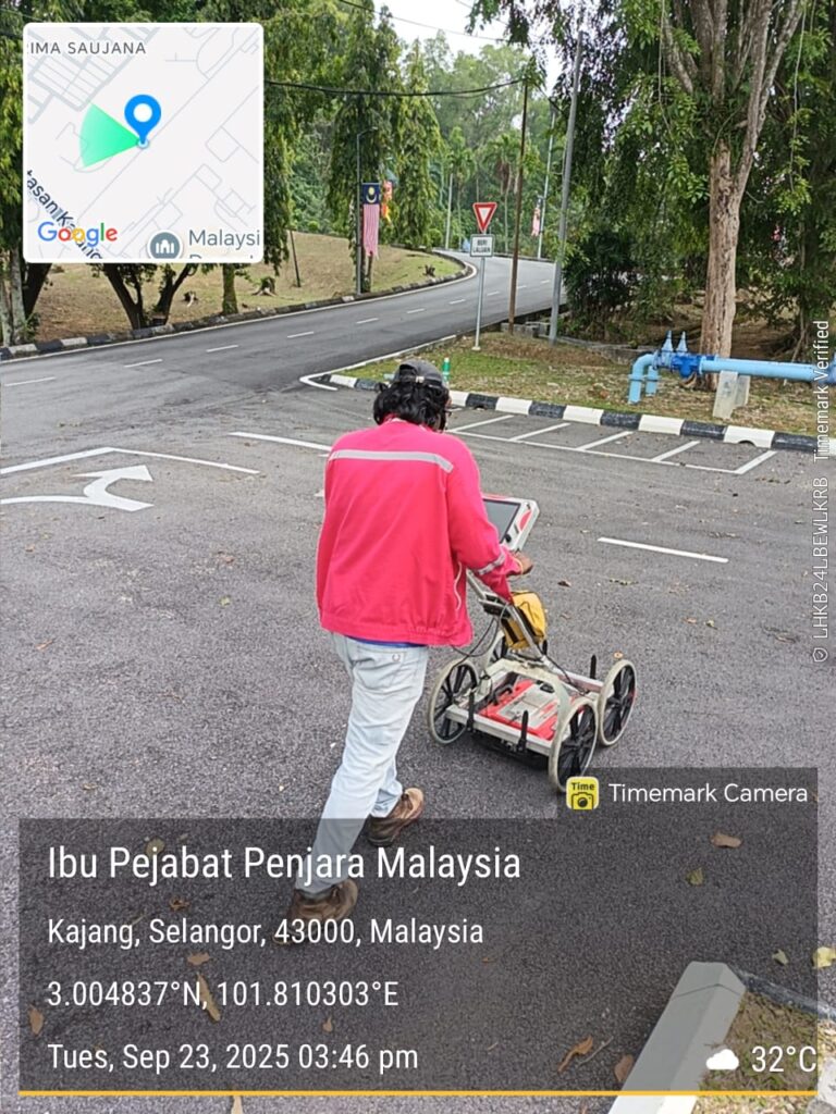
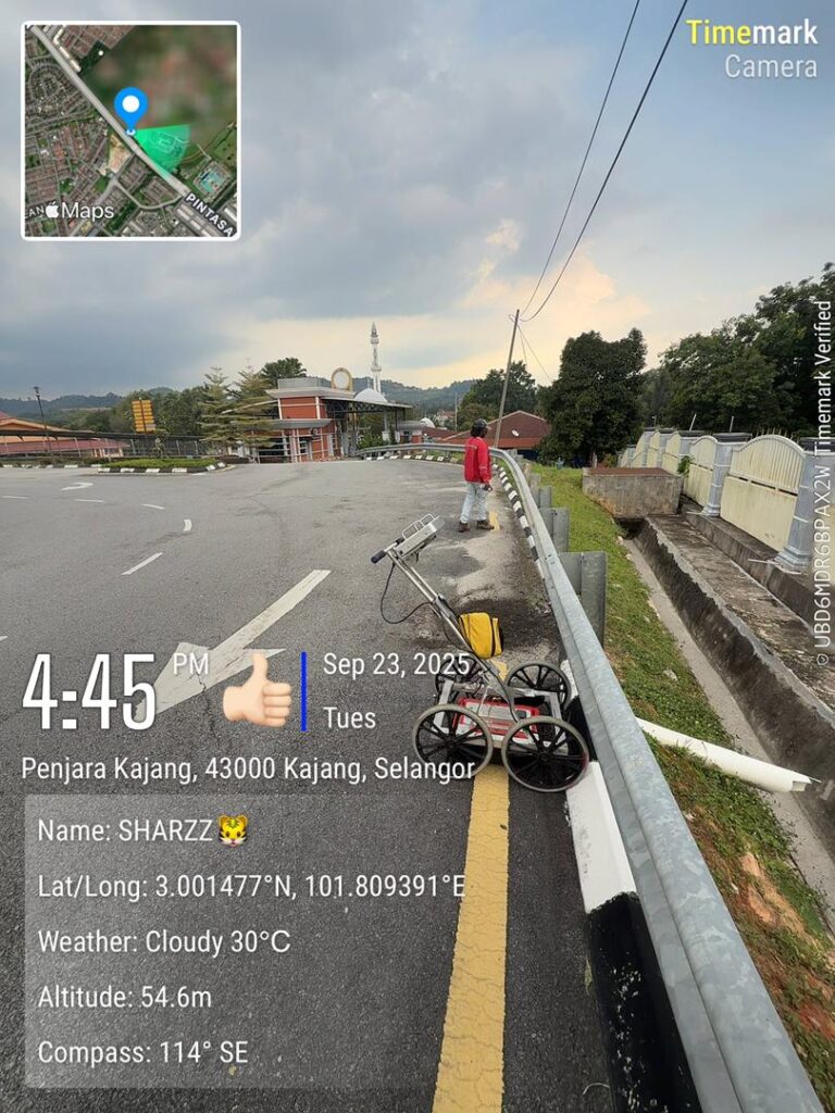
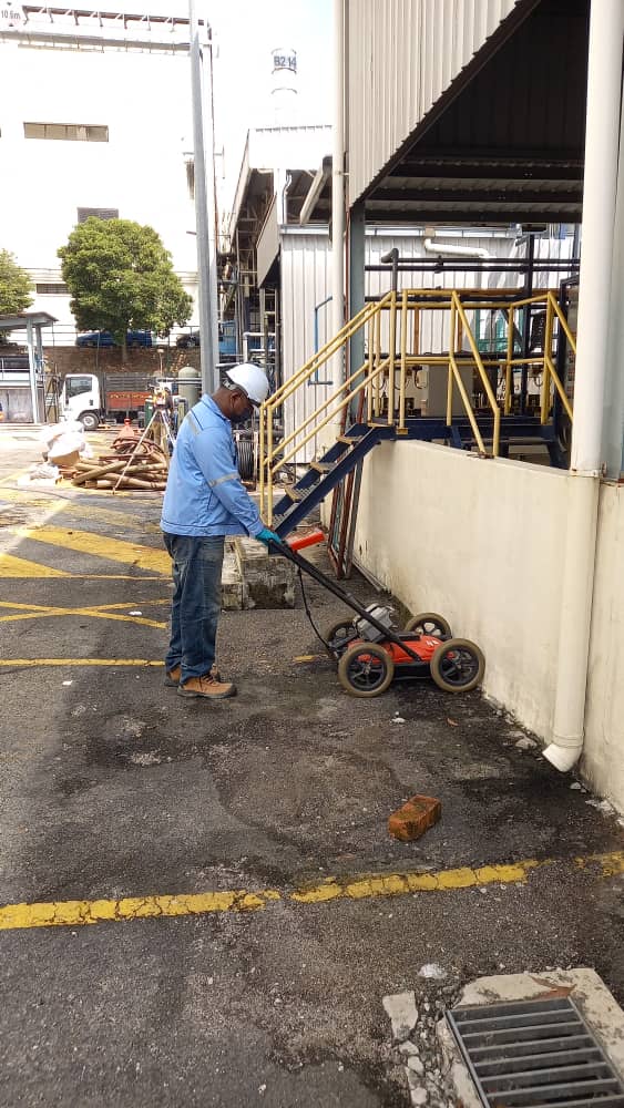
Underground utility detection and mapping solutions supporting safer infrastructure planning.
Utility Mapping Solutions
PPY Jaya Engineering provides underground utility detection, verification, GPS mapping and CAD drafting to support accurate utility layouts and safer infrastructure planning.
“Our utility mapping works support better coordination around existing underground infrastructure.”
Utility Mapping Services Overview
Our utility mapping services support detection, verification and accurate utility documentation.
Underground Detection
Detection of underground utilities for safer planning.